
![]()

APRESENTAÇÂO/PRESENTATION:
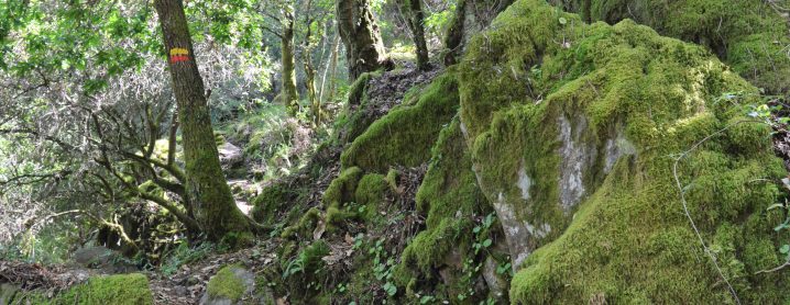
PT > Em plena Rede Natura 2000, a “Rota da Levada” convida a conhecer alguns dos refúgios da biodiversidade da Serra da Lousã.
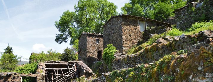
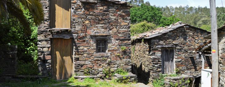
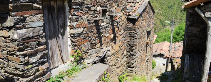
A ligação entre várias aldeias serranas, por caminhos com utilização secular, permite uma viagem no tempo, espelhada na evolução diacrónica da paisagem e das batalhas de conquista (e reconquista) entre o Homem e a Natureza.
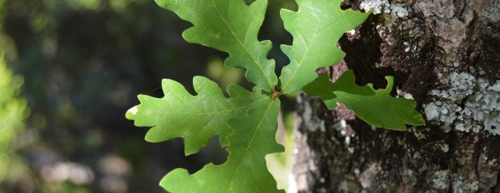
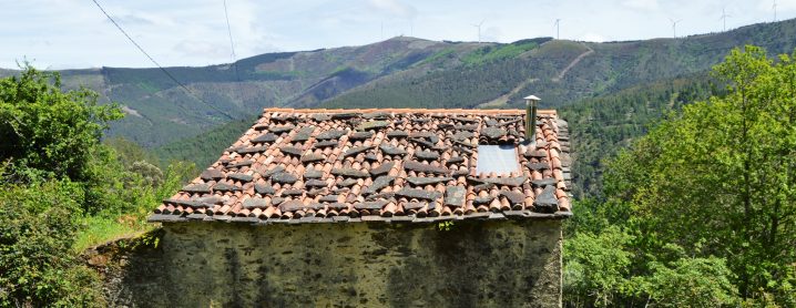
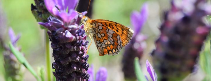
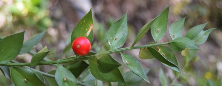
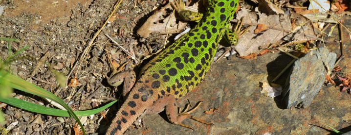
Aos afortunados, de olhar atento e/ou bafejados pelo sentido de oportunidade, a aventura pelas encostas xistosas, guardadas por arvoredo monumental, será uma oportunidade única para (re)visitar algumas das espécies mais icónicas do território.
De cordões apertados, cantil atestado e cajado (ou bastão) na mão, passo-a-passo, é tempo de inspirar, conectar com a natureza e dar liberdade aos sentidos.
EN > In the heart of the Natura 2000 Network, the "Levada Trail" offers you the opportunity to visit some of the biodiversity refuges of the Serra da Lousã.
The connection between the mountain villages, consisting of paths in use for centuries, takes you on a journey through time, mirrored in the diachronic evolution of the landscape and the battles of conquest (and reconquest) between Man and Nature.
For the lucky ones, with an attentive eye or a sense of opportunity, the adventure through the schist hillsides, guarded by monumental trees, will be a unique opportunity to (re)visit some of the most iconic species in the region.
With laces tightly tied, canteen at the ready and staff in hand, step-by-step, it's time to be inspired, connect with nature and set your senses free.
PATRIMÓNIO NATURAL/NATURAL HERITAGE
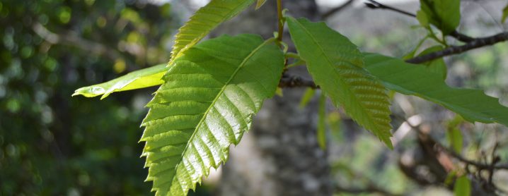
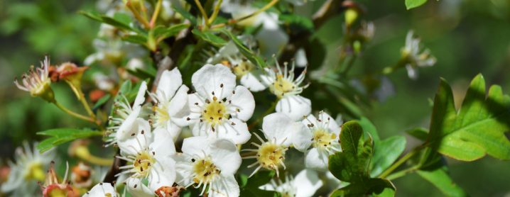
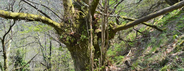
PT > Para além de um conjunto de espécies florísticas de grande interesse botânico e ecológico, em especial nas imediações das aldeias, é possível contemplar alguns soutos seculares, constituídos por dezenas de castanheiros (Castanea sativa) de porte monumental. A castanha, colhida nestas encostas, era um dos pilares da gastronomia serrana.
EN > In addition to the flowering species of great botanical and ecological interest, especially nearby the villages, you may wish to contemplate some centuries-old Chestnut groves, consisting of dozens of monumental chestnut trees (Castanea sativa). The chestnut, harvested on these slopes, was one of the cornerstones of local mountain gastronomy.
DESCRIÇÃO DO PERCURSO/TRAIL DESCRIPTION
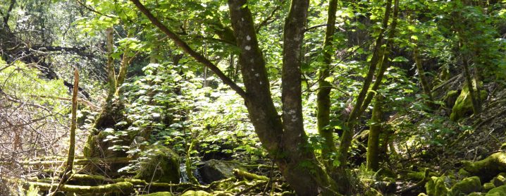
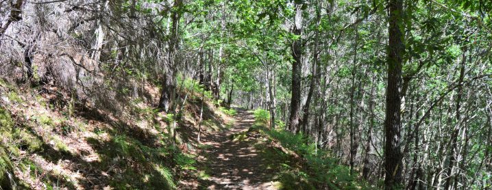
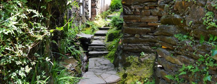
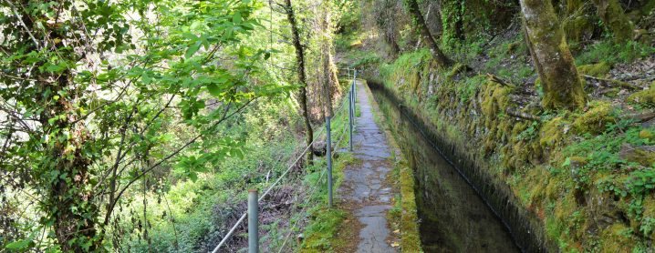
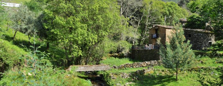
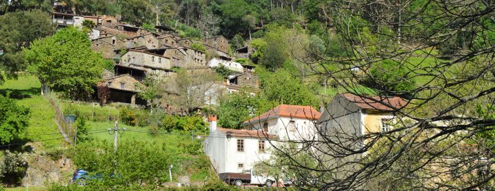
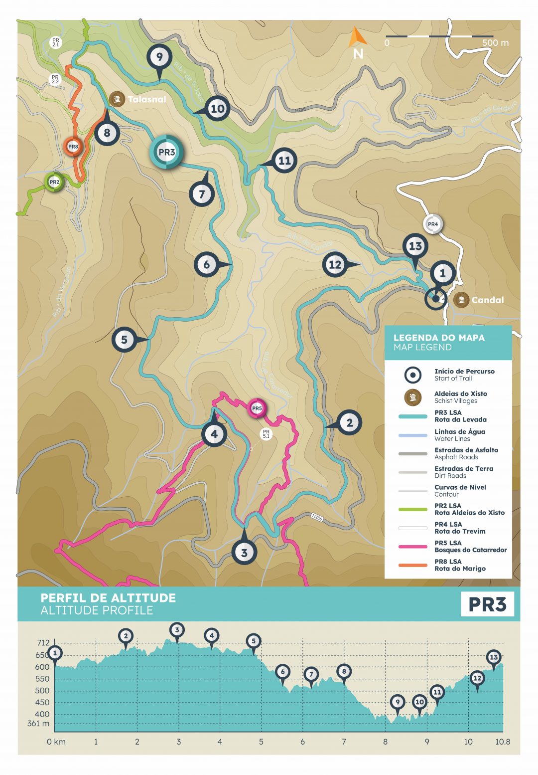
PT > O percurso inicia-se na Aldeia do Xisto de Candal, junto à ponte. Percorrendo caminhos repletos de memórias, vagueando pela floresta, o interior das linhas de água desvenda refúgios da fauna e flora local.
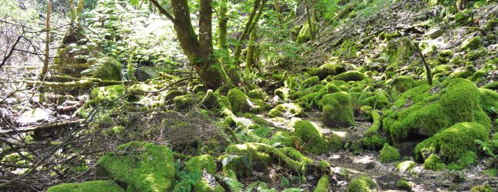
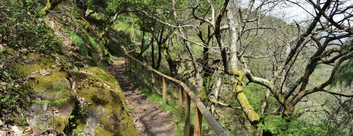
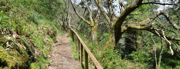
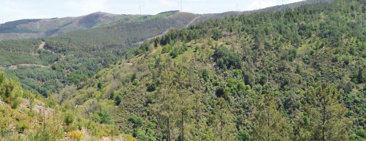
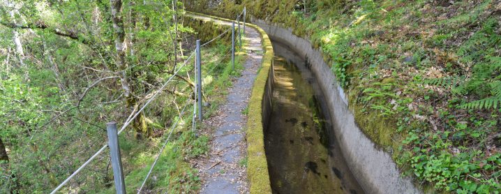
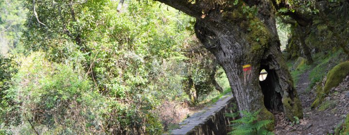
Caminhando sobre o manto verde, vigiado por árvores monumentais, a extensa guarda de madeira denúncia a chegada à área do Casal de Catarredor.
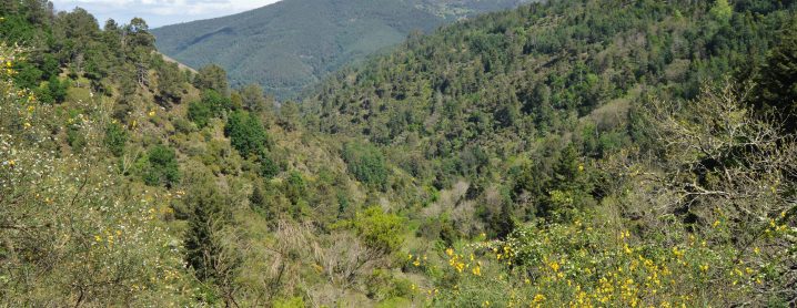
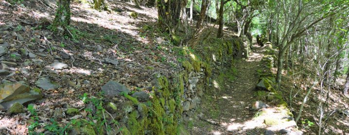
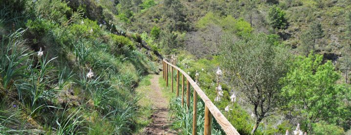
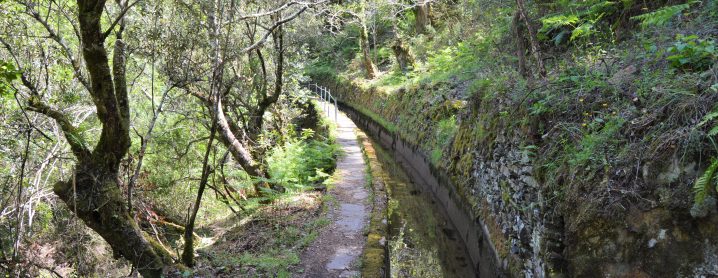
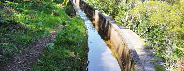
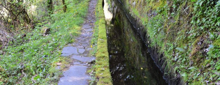
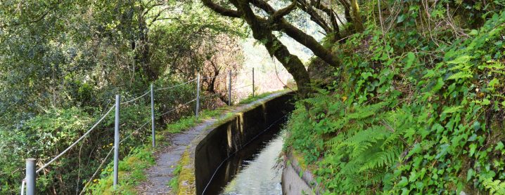
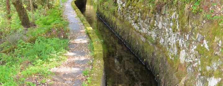
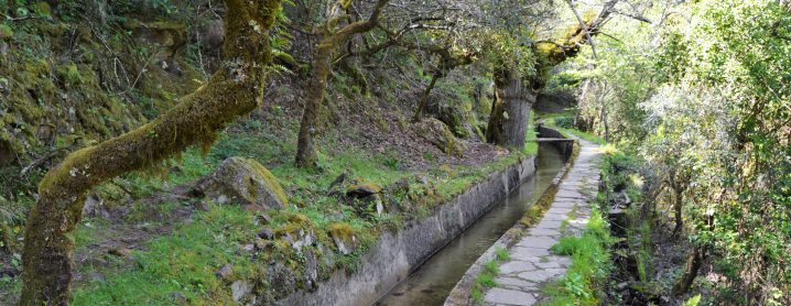
Serpenteando pela antiga levada, ladeada por parcelas outrora dedicadas à agricultura, cruzamos Catarredor. Após a passagem pelo interior do lugar, guiados pelas muralhas em xisto que sustentam os solos, alcançamos Vaqueirinho para, depois, regressar à floresta, com vista sobre os vales encaixados.
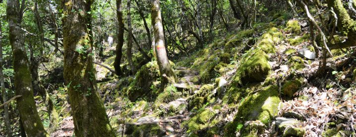
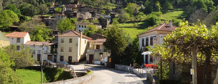
Atravessando o extenso manto multicolor, sempre na companhia de árvores notáveis, a descida desagua na Aldeia do Xisto de Talasnal.
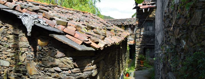
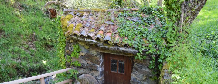
Percorrendo as ruas do lugar, em sentido descendente, os caminhos com história cruzam-se para, junto à levada da Central da Ermida, voltarem a divergir. Numa tela inspiradora, multissensorial, à beleza da natureza somam-se as melodias entoadas pelas aves ou pela água.
Ziguezagueando a meia encosta, este é um momento para saborear demoradamente. Transpondo a ponte, um desvio marca o início da subida, enobrecida por espécies relíquias.
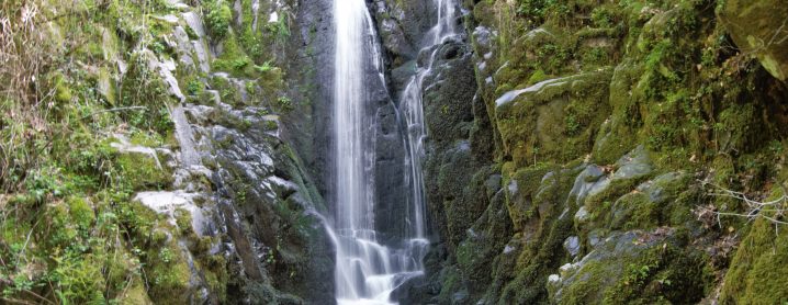
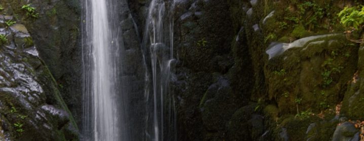
Alcançando o cruzamento, um desvio permite contemplar a Cascata do Candal. > De regresso ao trilho, transpondo a ribeira, o caminho conduz de regresso ao ponto de partida.
EN > The route starts in the Schist Village of Candal, next to the bridge. Walk along paths full of memories, wandering through the forest, where the water is a refuge for the local fauna and flora.
Walking on the green carpet which covers the ground, guarded by monumental trees, a long wooden barrier announces your arrival at the Casal de Catarredor area.
We cross Catarredor winding along the old levada, flanked by fields once used for agriculture. We reach Vaqueirinho next, guided by the schist walls that support the soil, and then return to the forest overlooking the enclosed valleys.
We cross the extensive multicolored bedrock, always in the company of remarkable trees, to the Schist Village of Talasnal.
The historic paths cross while we walk downwards through Talasnal’s streets, and then diverge again next to the levada of the Ermida Hydroelectric Power Station.
The beauty of nature is added to the melodies of birds and water, creating an inspiring, multinsensory canvas. As you zigzag halfway up the slope, this is a moment to savour at length.
You crossing the bridge and another path marks the beginning of the ascent, embelished by relic species. Reaching the crossroads, a diversion allows you to contemplate the Candal Waterfall.
Back on the trail, crossing the stream, the path leads back to the starting point.
ÉPOCA ACONSELHADA/RECOMMENDED SEASON
PT > O percurso pode ser efetuado em qualquer época do ano, tendo os seus utilizadores que tomar algumas precauções face às elevadas temperaturas que se podem fazer sentir durante o verão.Durante os períodos de maior precipitação recomenda-se algum cuidado com as águas escorrenciais e com a subida do caudal da ribeira.
EN > The hiking trail can be done at any time of the year, although hikers have to take some precautions during the summer due to the high temperatures. During periods of higher rainfall, some care is recommended with the runoff waters as the stream’s water-level can rise quickly.
MAPA E PONTOS DE INTERESSE DO PERCURSO:
![]()
