APRESENTAÇÂO/PRESENTATION
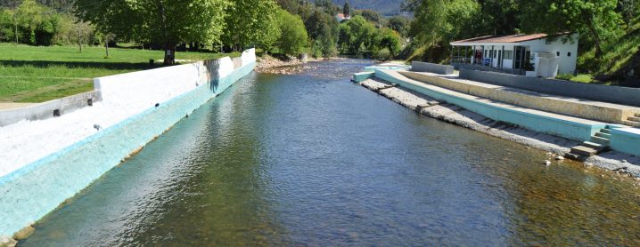
PT > Embalados numa melodia trauteada pelas águas cristalinas que correm no rio Ceira, o percurso conduz numa viagem guiada pelas memórias. A relação ancestral entre o ser humano e a natureza, enraizada no território ao longo de vários séculos apresenta, na margem direita do curso de água, um dos capítulos mais significativos do seu legado. A silhueta do rio e as adaptações à geomorfologia auxiliaram no desenho das áreas de ocupação humana, com os talhões ricos em aluviões destinados à agricultura, num património cultural enriquecido pelas obras edificadas por guardiões do saber-fazer – moinhos, levadas, lagares ou pontes – com tanto para descobrir. Mas, é na grandiosidade e generosidade da natureza que se revela o maior tesouro do território, com 480 milhões de anos de histórias para contar.
EN > Cradled by a melody sung by the crystal clear waters that run through river Ceira, the trail leads us through a trip guided by the memories. The ancestral connection between the human being and nature, rooted in the land trough many centuries represents, on the right side of the water stream, one of the most significant chapters of its legacy. The silhouette of the river and the adjustment to the geomorphology helped drawing the areas occupied by humans, with the fields rich in alluvium intended for agriculture, in a cultural heritage enriched by the constructions built by guardians of the know-how – mills, levadas, wine presses or bridges – that has so much to be found. However, it's in nature's greatness and generosity that the biggest treasure of the land is reveled, with 480 million years of stories to tell.
PATRIMÓNIO NATURAL/NATURAL HERITAGE:
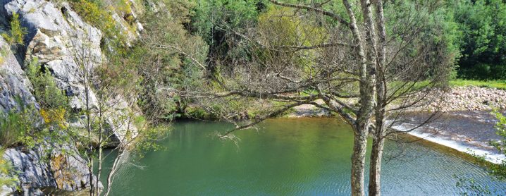
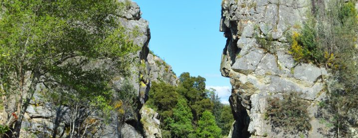
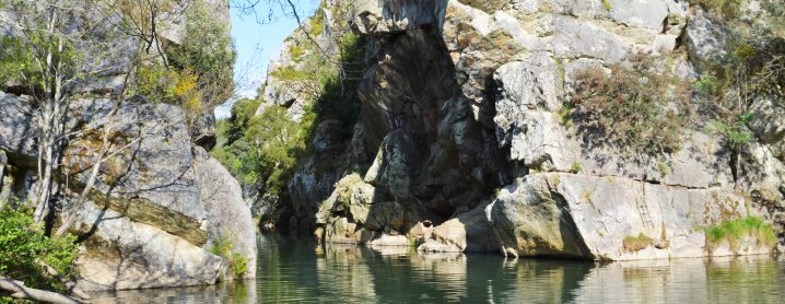
PT > A beleza rara da epigenia (ou garganta) do Ceira apresenta-se como um dos ex-libris do território, perfeitamente descrita por Orlando Ribeiro (1968, p. 287): “a bela garganta (…) onde este rio corta a barra quartzítica que prolonga a serra do Buçaco, vendo-se que atravessou toda a espessura dos depósitos descritos, que afloram na proximidade, até serrar as bancadas de rocha dura, é certamente uma das epigenias mais demonstrativas do mundo”.
EN > The rare beauty of Ceira's valley presents itself as one of the land's ex-libris, perfectly described by Orlando Ribeiro (1968. p.287): "the beautiful valley (...) where this river cuts the quartzite bar that extends serra do Buçaco, it's seen that it crossed the whole thickness of the described deposits, that flourish nearby, until it saws the hard rock benches, it's certanly one of the most illustrative valleys in the world".
DESCRIÇÃO DO PERCURSO/TRAIL DESCRIPTION
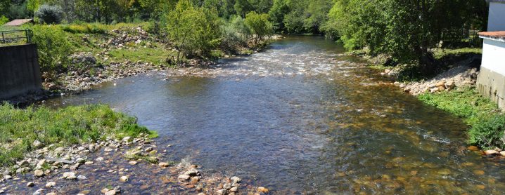
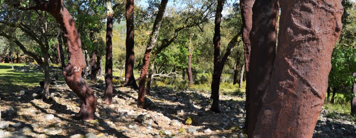
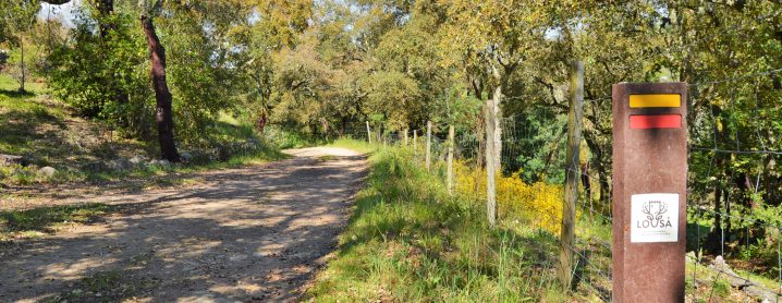
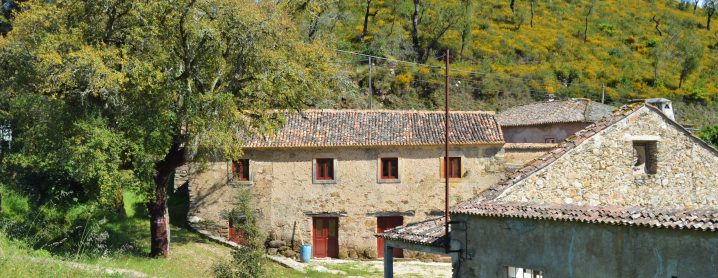
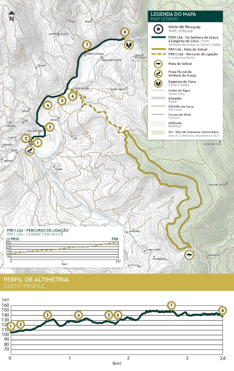
PT > O percurso inicia-se junto à majestosa Garganta do Ceira, em Serpins. Após um cenário arrebatador, com vista privilegiada para o Cerro da Candosa e para os campos agrícolas, o percurso conduz a Cabril de Baixo, para depois revelar outra singularidade natural: o corte geológico do rio Ceira. Seguindo pelo canal ferroviário, aberto com o objetivo de ligar o Ramal da Lousã a Arganil, e que nunca chegou a ser concluído, sempre de mãos dadas com o rio, cruzamos o lugar de Ribeira Cimeira para depois, através de um desvio, alcançar Ribeira Fundeira. Adiante, junto à ponte, revela-se uma paisagem inolvidável. A notoriedade do património construído da Quinta da Maria Mendes, localizado na margem oposta e os depósitos de cascalheiras e sobreiros que ladeiam o caminho paralelo à plataforma compõem um cenário idílico. Alcançando o asfalto, junto à Cova do Barro, seguindo o sentido da corrente do curso de água, atravessamos o casario disperso e a várzea composta por um amplo mosaico agrícola, que se estende até ao rio, rumo ao fim da jornada.
EN > The trail begins next to the majestic Ceira's Valley, in Serpins. After a breathtaking scenery, with a privileged view over Cerro da Candosa and over the agricultural fields, the trail leads to Cabril de Baixo, so it can after reveal another natural singularity:river Ceira geological section. Following through the railway track, open with the intention of connecting Ramal Lousã to Arganil, and that it was never finished, always holding hands with the river, we cross Ribeira de Cima, next to the bridge, a memorable view is revealed. The notority of the heritage built in Quinta da Maria Mendes, located on the opposite side of the river with the gravel pits and the cork oaks that flank the trail opposite the track make up a idyllic scenery. Reaching the tarmac, next to Cova do Barro, following the stream of water, we cross the scattered houses and the meadow made of a broad agricultural mosaic, that spreads to the river, towards the end of the journey.
ÉPOCA ACONSELHADA/RECOMMENDED SEASON
PT > O percurso pode ser efetuado em qualquer época do ano, tendo os seus utilizadores que tomar algumas precauções face às elevadas temperaturas que se podem fazer sentir durante o verão. Durante os períodos de maior precipitação recomenda-se algum cuidado com as águas escorrenciais.
EN > The trail can be done during any season of the year, however the hikers have to take some precautions due to the high temperatures that are felt during the Summer. During the periods with the most precipitation some precaution is advised due to the running waters.
MAPA E PONTOS DE INTERESSE DO PERCURSO:
![]()
