![]()
APRESENTAÇÂO/PRESENTATION:
PT > Estamos em meados do século XIX. Recuperados dos tumultos e das perdas decorrentes da Terceira Invasão Francesa, nos trilhos que rompem pelo interior da serra, cruzam-se moleiros e pastores, a carvoeira e a professora.
Numa roda-viva, por entre caminhos murados, ladeados por socalcos que suportam as coirelas penduradas sobre precipícios, as relações económicas e sociais entre as populações que residem nas aldeias serranas e a vila da Lousã remontam a tempos imemoriais, assumindo carácter umbilical.
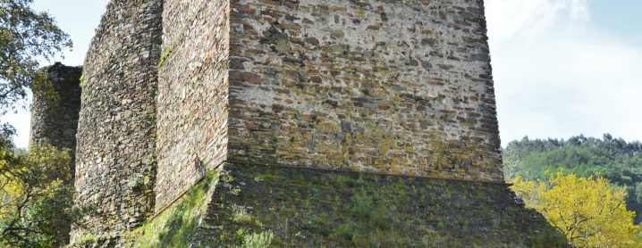
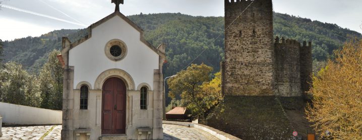
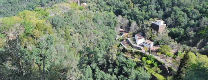
Abeirados do Castelo de Arouce, protegidos pelos símbolos da fé e guiados pelo vale da ribeira de São João, de olhos postos no interior da montanha, é tempo de vestir o serrobeco e viver uma experiência repleta de história(s).
EN > Imagine that we are in the middle of the 19th century. Having recovered from the tumult and destruction resulting from what the Portuguese know as the Third French Invasion, millers, shepherds, charcoal-burners, and teachers all cross paths on the trails that break through the mountain range’s interior.
In a living circle, through walled paths, flanked by terraces divided into strips that cling on over precipices, the economic and social relationships between the people residing in the mountain settlements and the village of Lousã date back to ancient times, taking on an almost umbilical character.
At the edge of Arouce Castle and looking towards the mountain’s interior, protected by symbols of faith and guided by the São João stream’s valley, it is time to put on your warmest woollen jumpers and enjoy an experience steeped in history.
PATRIMÓNIO CULTURAL/CULTURAL HERITAGE
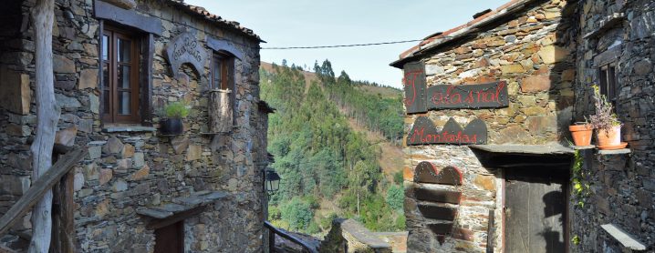
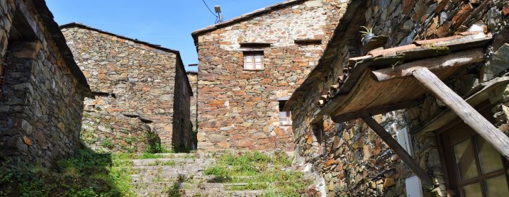
PT > Os cinco lugares serranos da Lousã que integram a Rede das Aldeias do Xisto (Candal, Casal Novo, Cerdeira, Chiqueiro e Talasnal) encontram-se documentados desde o século XVI. No conjunto destas aldeias, que assumem uma relevância patrimonial assinalável residiam, em 1940 (quando atingiram o seu máximo demográfico), 539 pessoas.
EN > The five highland settlements in Lousã that make up the Schist Villages Network (Candal, Casal Novo, Cerdeira, Chiqueiro and Talasnal) have been documented since the 16th century. In 1940, there were 539 people living in these scenic villages; since then their population has dwindled.
DESCRIÇÃO DO PERCURSO/TRAIL DESCRIPTION
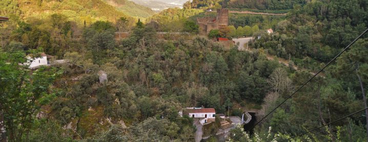
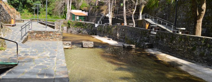
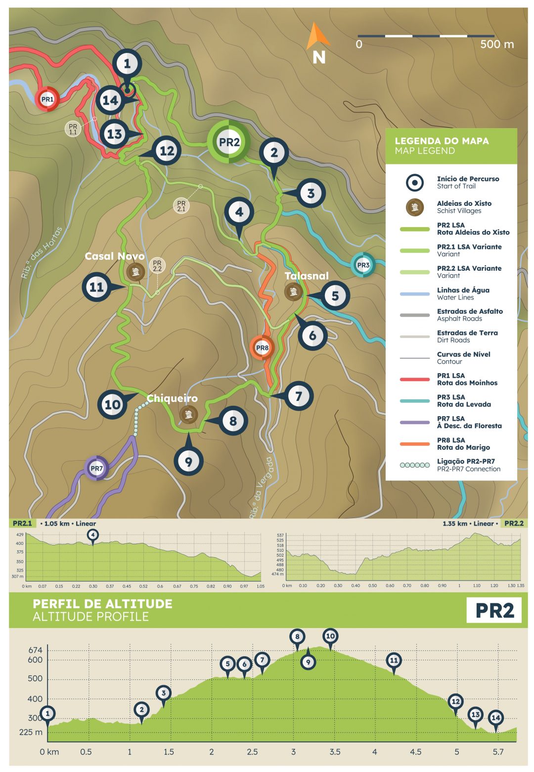
PT > O percurso inicia-se junto ao Castelo de Arouce. Percorrendo o caminho em sentido horário, convergindo com a ribeira de São João, a ponte revela a Central Hidroelétrica da Ermida, marcando o início da subida.
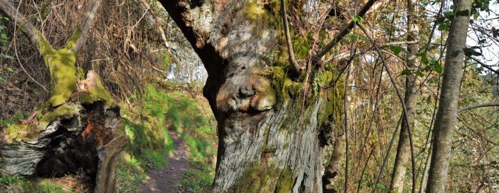
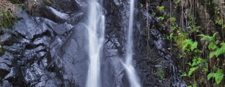
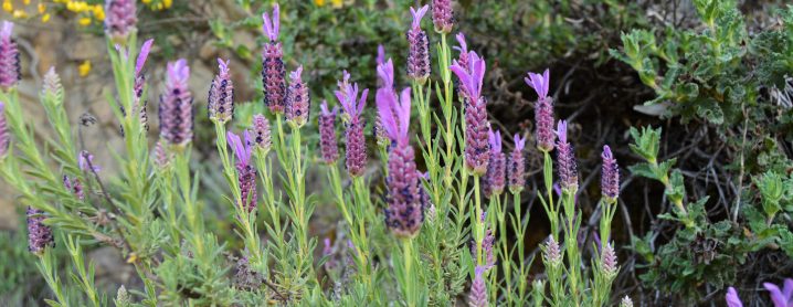
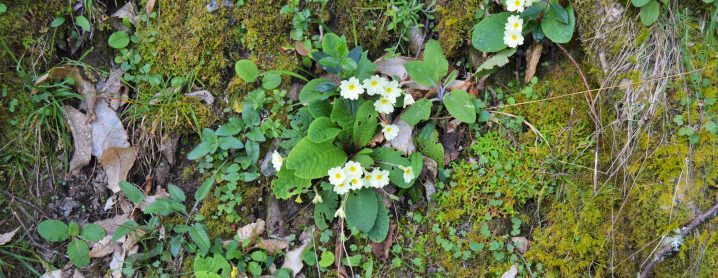
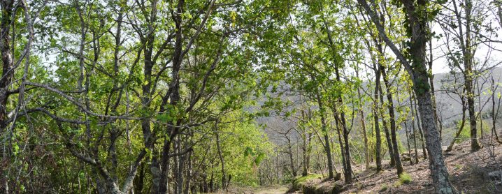
Ziguezagueando por entre socalcos, a vegetação nativa apresenta-se como cicerone nesta viagem. Quase no Talasnal, um desvio convida a conhecer a majestosa cascata.
De volta ao trilho, a variante (PR 2.1) permite encurtar o caminho e regressar ao Castelo.
Seguindo pelo sentido recomendado, abraçamos o interior de um lugar mágico, que parece retirado de um conto de fadas. No Talasnal, nova variante (PR 2.2), com ligação direta ao Casal Novo, possibilita abreviar o percurso.
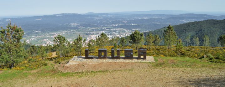
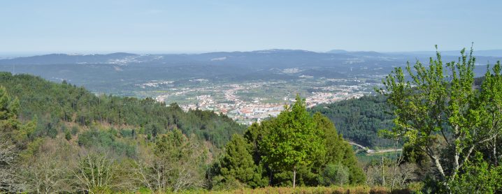
Após o antigo lagar, transpondo o asfalto, o pinhal conduz à Aldeia do Xisto de Chiqueiro. No miradouro, as letras implantadas na paisagem denunciam o nome do núcleo urbano que se espraia lá ao fundo.
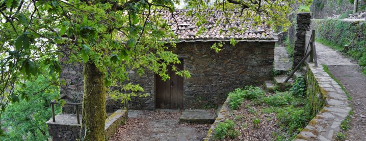
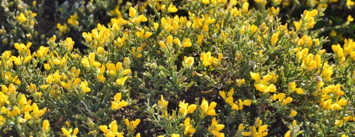
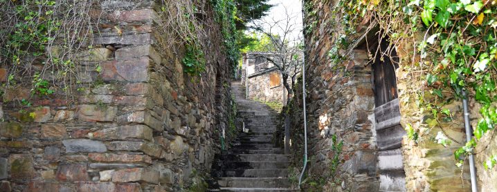
Cruzando o manto composto por carquejas, a descida desagua no Casal Novo e na extensa escadaria que percorre o coração da aldeia.
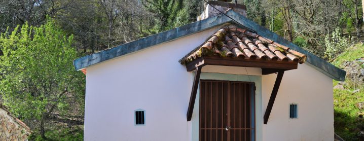
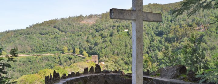
Abandonando as edificações em xisto, irrompendo pelo acacial, o Miradouro da Cruz revela uma tela primorosa: o Castelo e as Ermidas encerram um dos tesouros do território.
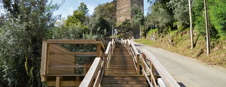
Admirando o Parque de São João e o Santuário de Nossa Senhora da Piedade, a ponte abre caminho para a escadaria em madeira, de regresso ao ponto de partida.
EN > The trail starts next to the Arouce Castle. Follow the path clockwise until you meet the São João stream. The bridge there affords a view of the Ermida Hydroelectric Power Plant, marking the beginning of the ascent.
As you zigzag through farming terraces, the local vegetation becomes your guide. Just before you reach Talasnal, you’ll see a sign indicating a side-path that invites you to see the majestic waterfall.
Back on the trail, the PR 2.1 offers the option of a shortcut back to the Castle.
As we follow the path, we embrace the heart of this magical place, which is like something out of a fairy tale. In Talasnal, a new path (the PR 2.2), with a direct connection to Casal Novo, shortens the trip.
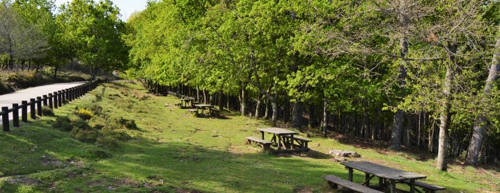
After the old mill, cross the tarmac, and head through the pine forest to the Schist Village of Chiqueiro. At the viewpoint, the letters installed among the landscape spell out your location.
You head downhill though some wild gorse until you get to Casal Novo and the staircase that runs through the heart of the village.
You leave behind the schist buildings and emerge through the acacia trees to the Cruz Viewpoint, which reveals an exquisite canvas: the Castle and the Hermitages which contain one of the local treasures.
As you admire the Parque de São João and the Nossa Senhora da Piedade Sanctuary, the bridge opens way to the wooden staircase, back to your starting point.
ÉPOCA ACONSELHADA/RECOMMENDED SEASON
PT > O percurso pode ser efetuado em qualquer época do ano, tendo os seus utilizadores que tomar algumas precauções face às elevadas temperaturas que se podem fazer sentir durante o verão.Durante os períodos de maior precipitação recomenda-se algum cuidado com as águas escorrenciais e com a subida do caudal da ribeira.
EN > The hiking trail can be done at any time of theyear, although hikers have to take some precautions during the summer due to the high temperatures. During periods of higher rainfall, some care is recommended with the runoff waters as the stream’s water-level can rise quickly.
MAPA DO PERCURSO:
![]()
