![]()
APRESENTAÇÂO/PRESENTATION:
PT > A descoberta da Serra da Lousã, através de caminhos repletos de história, sensações e paisagens inspiradoras não fica completa sem a conquista do seu ponto culminante.
Numa fusão entre as veredas seculares que permitem a ligação entre algumas das aldeias serranas e os acessos florestais que proporcionam vistas privilegiadas que se prolongam por centenas de quilómetros, este é um trilho desafiante.
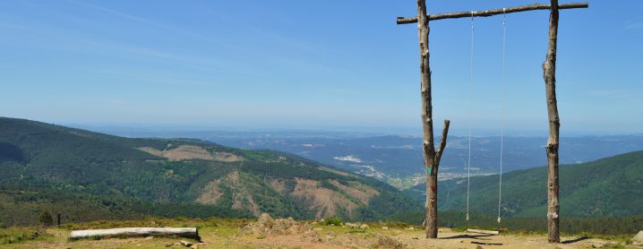
Mas haverá maior compensação do que, numa só jornada, conhecer Aldeias do Xisto e outros lugares mágicos, vales que asseguram refúgios de fauna e flora, percorrer um amplo miradouro natural, conquistar o ponto mais elevado da Serra da Lousã e, durante esta aventura, saborear a paisagem num dos baloiços mais famosos de Portugal?
EN > An exploration of Serra da Lousã, through paths full of history, sensations and inspiring landscapes is not complete if you do not tackle the walk that leads to its highest point. This a challenging trail, which is a fusion between the centuries-old paths that allow for connections between some of the mountain villages and the forest accesses that provide privileged views extending for hundreds of kilometres.
But what could be more rewarding than getting to know the Schist Villages and other magical places in a single journey, valleys that provide refuges for fauna and flora, as you walk through a wide natural lookout, to conquer the highest point of the Serra da Lousã Mountain while enjoying the landscape on one of the most famous swings in Portugal?
PATRIMÓNIO CULTURAL/CULTURAL HERITAGE
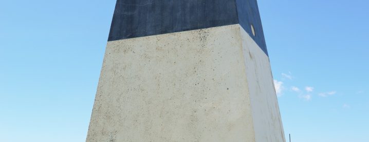
PT > Ponto culminante da Serra da Lousã (1205 metros de altitude), é coincidente com os limites administrativos dos concelhos de Castanheira de Pera, Góis e Lousã. O topónimo deriva do latim “trifinium” (local onde confluem três limites ou fronteiras). No período de ocupação Romana, o Trevim seria o limite das “civitates” de Conímbriga (Condeixa-a-Nova), Aeminium (Coimbra) e Bobadela (Oliveira do Hospital).
EN > The Serra da Lousã’s highest point (at 1205 metres’ altitude) coincides with the municipality borders of Castanheira de Pera, Góis and Lousã. The toponym derives from the Latin "trifinium" (meaning a place where three limits or borders converge). During the Roman occupation period, Trevim was the limit of the “civitates” of Conímbriga (Condeixa-a-Nova), Aeminium (Coimbra) and Bobadela (Oliveira do Hospital).
DESCRIÇÃO DO PERCURSO/TRAIL DESCRIPTION
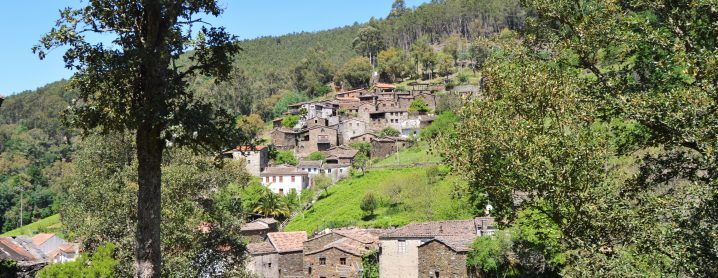
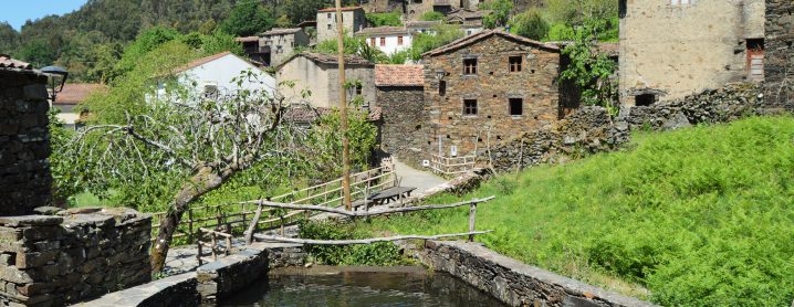
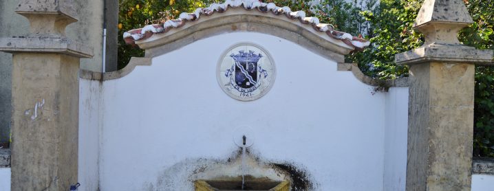
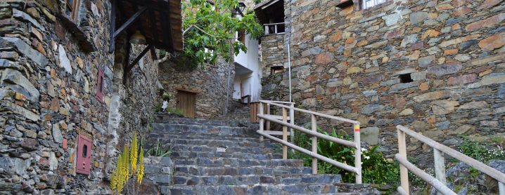
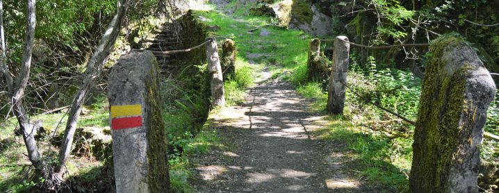
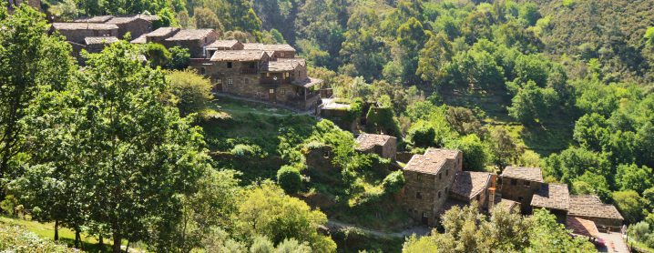
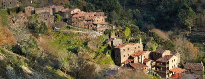
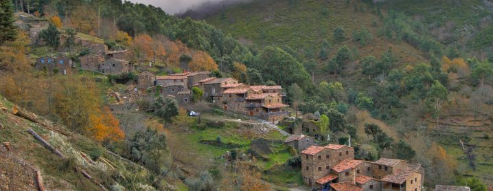
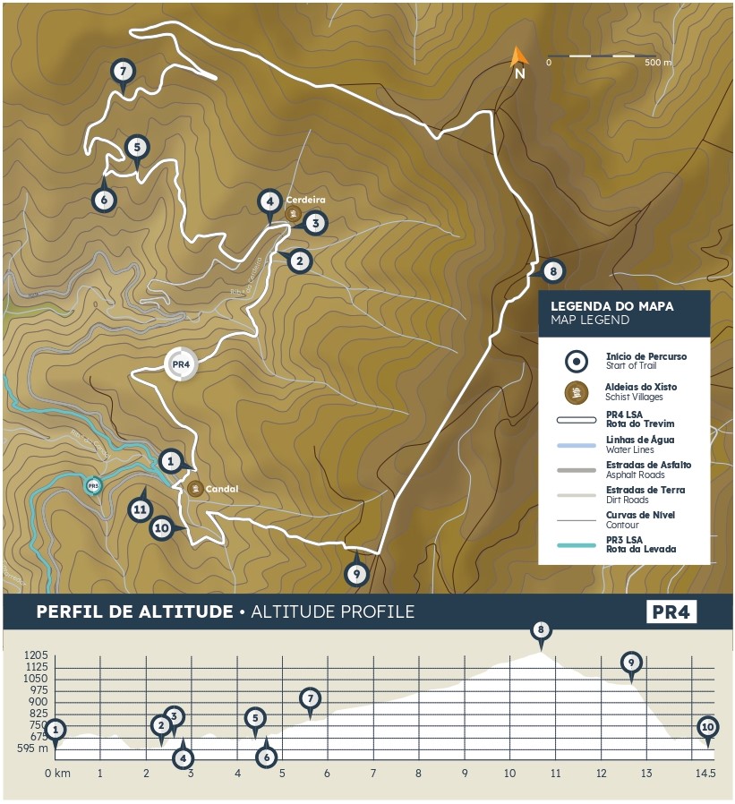
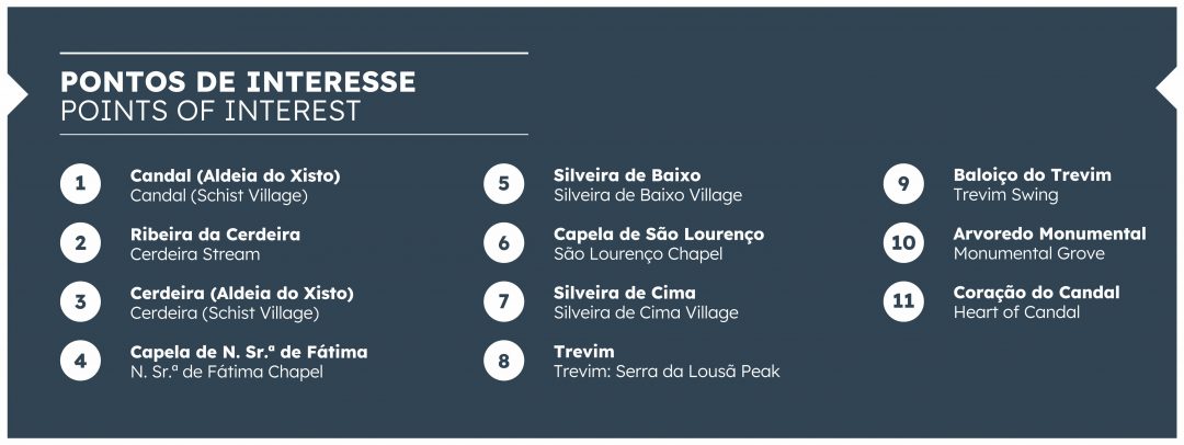
PT > O percurso inicia-se na Aldeia do Xisto de Candal, junto à ponte.
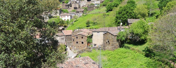
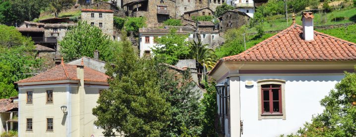
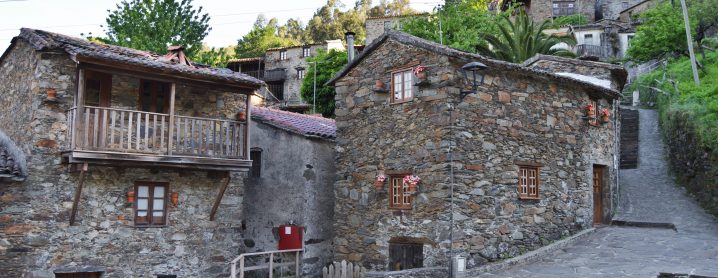
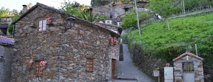
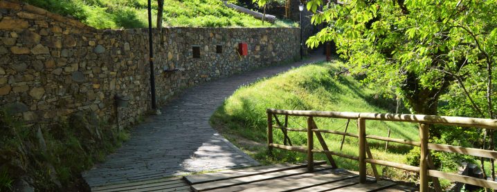
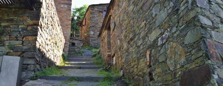
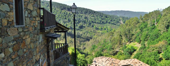
Percorrendo as ruas da aldeia, em sentido ascendente, cada esquina revela um recanto mágico para, no topo, desvendar uma vista esplendorosa.
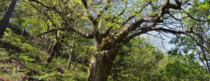
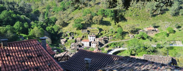
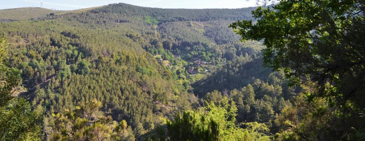
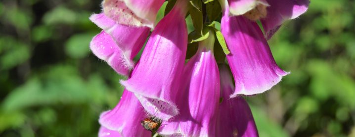
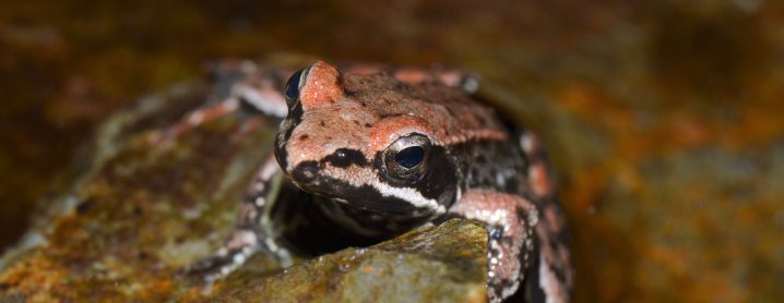
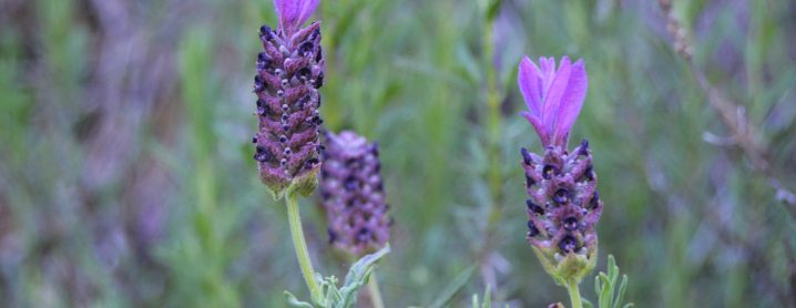
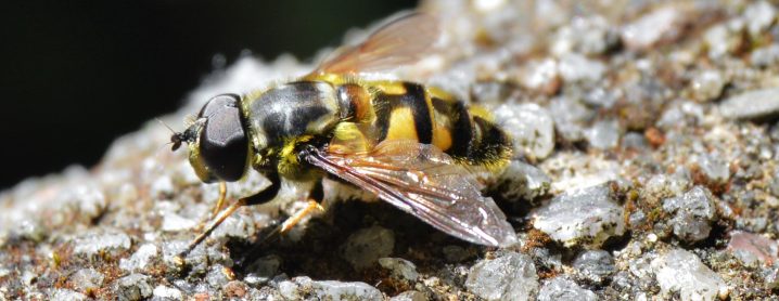
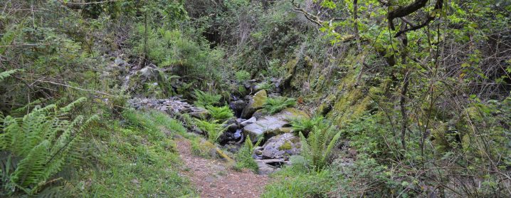
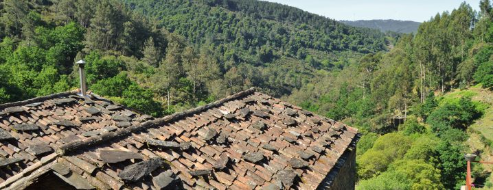
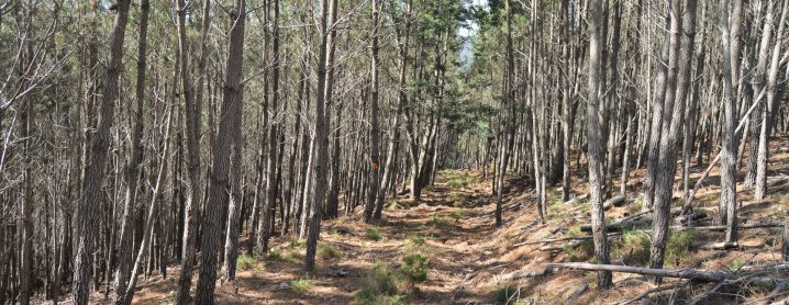
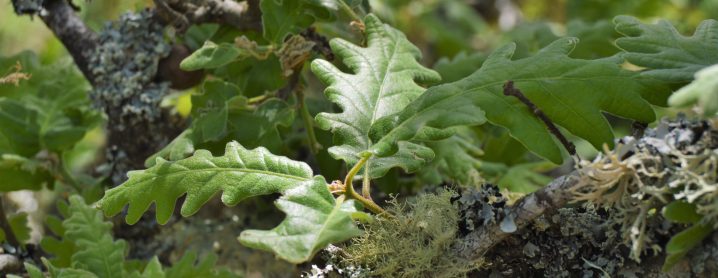
Embrenhados na floresta, algumas aberturas permitem observar a Cerdeira e, no interior do vale, apreciar refúgios de fauna e flora nativa.
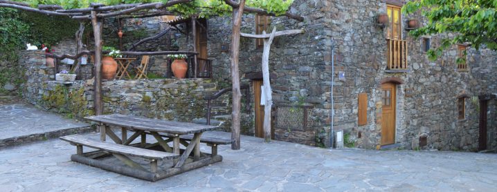
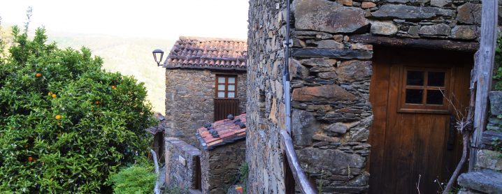
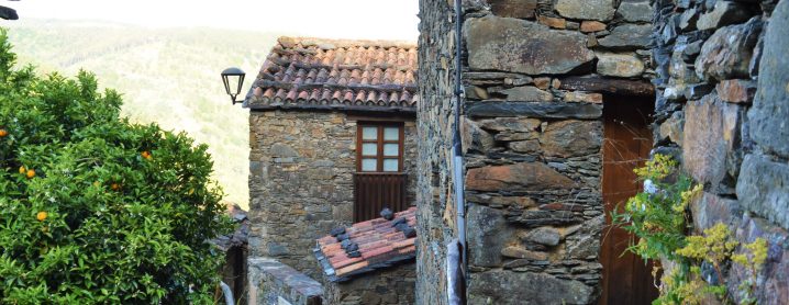
Num ápice surgem as primeiras construções em xisto. Depois da ponte, a subida revela um lugar único.
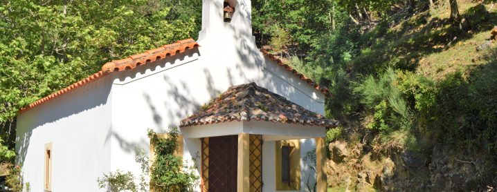
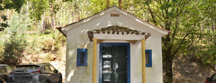
Regressados à floresta, ao sabor das curvas de nível, alcançamos as Silveiras separadas, entre si, pela Capela de São Lourenço.
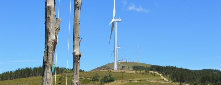
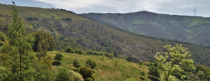
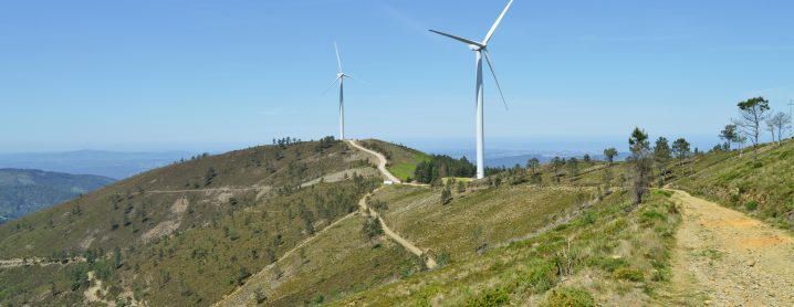
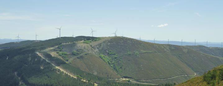
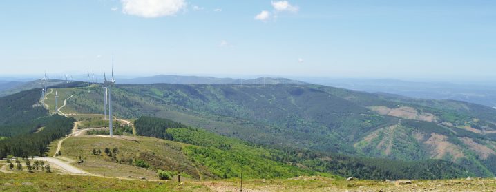
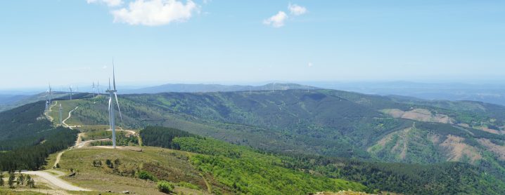
Com o Trevim como ponto de referência, a subida abre horizontes com largo alcance e, quase no topo, o “miradouro” abre-se em pleno, com vista para um imenso mar de montanhas.
Alcançado o ponto mais elevado da Serra da Lousã, a descida desagua no Baloiço do Trevim: é tempo de relaxar, sentir a natureza e viver um momento ímpar.
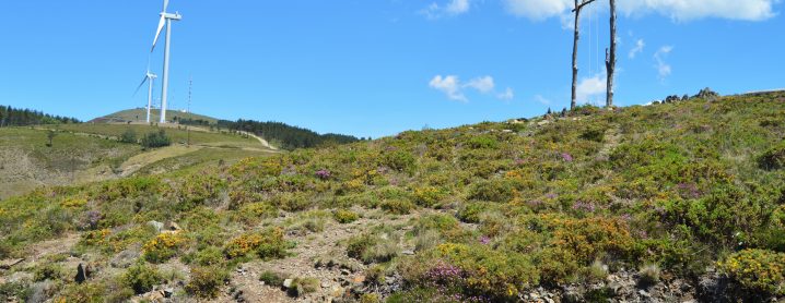
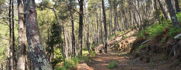
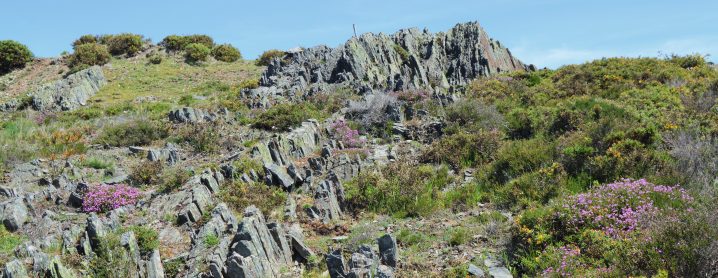
Por entre os matagais, o carreiro íngreme rasga as encostas xistosas. Quase no Candal, guiados pelo murmúrio da ribeira, somos convidados a percorrer um legado ancestral.
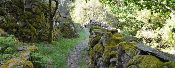
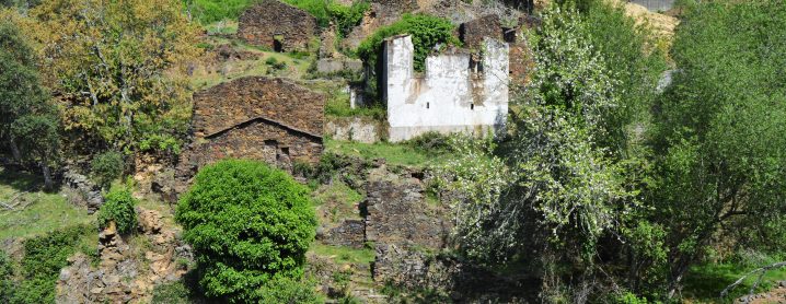
Por entre vegetação nativa, erguem-se extensas muralhas em xisto, de suporte aos solos outrora cultivados. De olhos postos no casario disposto ao longo da encosta, um desvio permite registar a visita ao “Coração do Candal”, antes do regresso ao ponto de partida.
EN > The route trail starts in the Candal Schist Village, next to the bridge.
Walking upwards through the village’s streets, each turn reveals a magical corner that will unveil a splendid view.
Some openings deep in the forest allow you to observe the Cerdeira and to take in native refuges of native fauna and flora deep in the valley.
The first schist buildings appear suddenly. After the bridge, the ascent reveals a truly unique place.
Returning to the forest, following the contour lines, we reach the Silveiras that are separated from each other by the São Lourenço Chapel.
With Trevim as a reference point, the climb opens up far-reaching horizons and, almost at the top, the “lookout” opens up in full, overlooking an immense sea of mountains.
Once you reach the highest point of the Serra da Lousã, the descent flows into the Trevim Swing: it is time to relax, feel nature and take in this special moment.
Through the thickets, the steep path cuts through the schist hillsides. Not far from Candal, we are invited to walk through na ancestral legacy, guided by the murmur of the stream.
There are extensive schist walls among native vegetation that support the once-cultivated soils. With eyes on the houses arranged along the slope, a diversion allows you to record your visit to the "Heart of Candal", before you return to the starting point.
ÉPOCA ACONSELHADA/RECOMMENDED SEASON
PT > O percurso pode ser efetuado em qualquer época do ano, tendo os seus utilizadores que tomar algumas precauções face às elevadas temperaturas que se podem fazer sentir durante o verão.Durante os períodos de maior precipitação recomenda-se algum cuidado com as águas escorrenciais e com a subida do caudal da ribeira.
EN > The hiking trail can be done at any time of the year, although hikers have to take some precautions during the summer due to the high temperatures. During periods of higher rainfall, some care is recommended with the runoff waters as the stream’s water-level can rise quickly.
MAPA E PONTOS DE INTERESSE DO PERCURSO:
![]()
